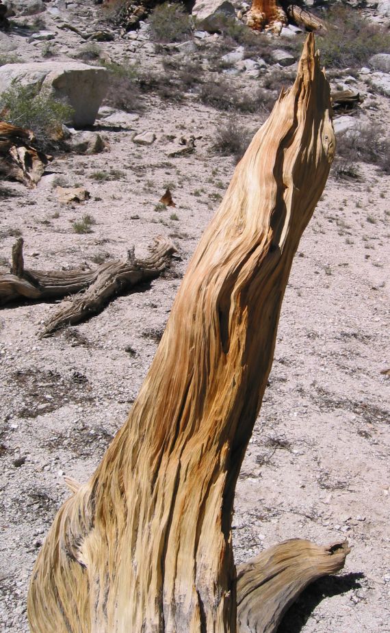
An eroded tree branch
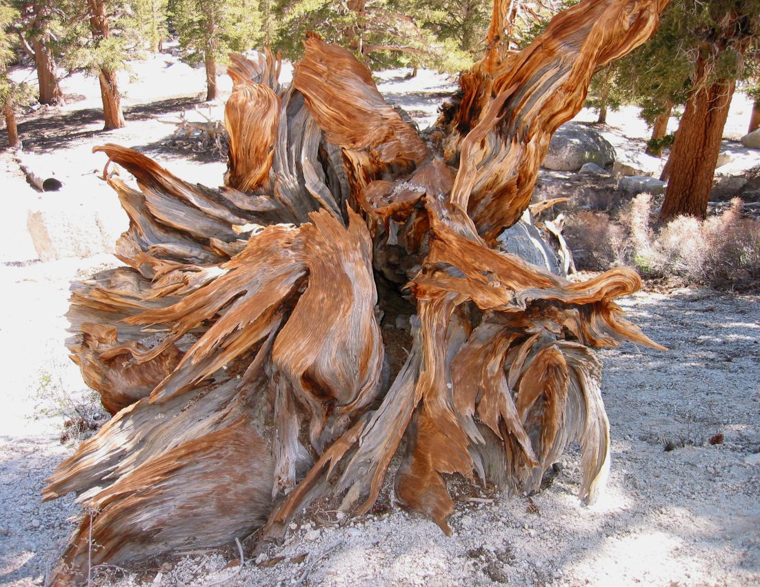
One of the eroded tree stumps
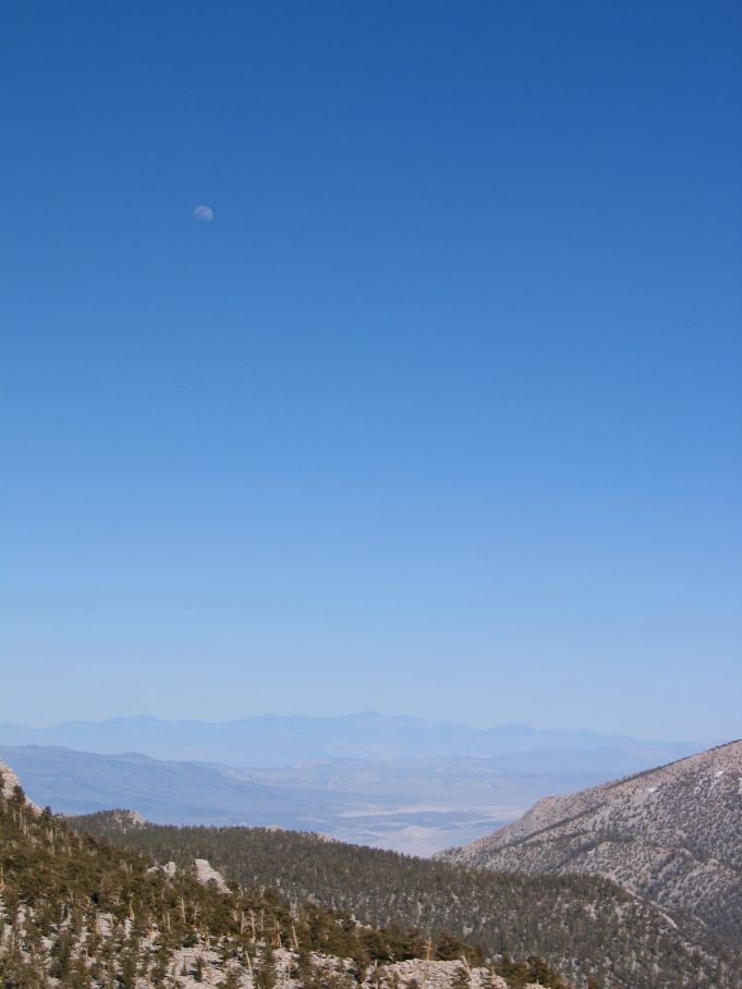
View with moon back to the valley
Danny, Glenn, Kip and I arrived at the Horseshoe Meadows backpacker campground late Friday night, around 12:30am. Despite the fact that it was Memorial Day weekend, there were numerous walk-in sites still to be found, probably because Horseshoe Meadows is pretty out-of-the-way. We spread out our sleeping bags and (except for the chill) enjoyed the clear starry sky overhead. I meant to take some long-exposure star and moonlight pictures, but somehow I forgot.
In the morning we packed up and headed out on the Cottonwood Pass trail. Most of the other people in the campground looked like they were settling in for the weekend. The trail was very flat starting out, and skirted the edge of a large meadow with a raised bald spot on one side. The flatness was welcome, because the 10,000+ foot altitude was starting to give us headaches as we walked. During our trip, we frequently ran into some very pretty woodwoork, such as fallen trees which had been weathered by the wind.
|
An eroded tree branch |
One of the eroded tree stumps |
View with moon back to the valley |
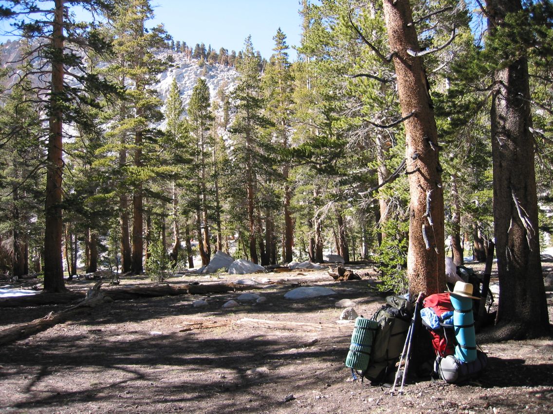 Our campsite |
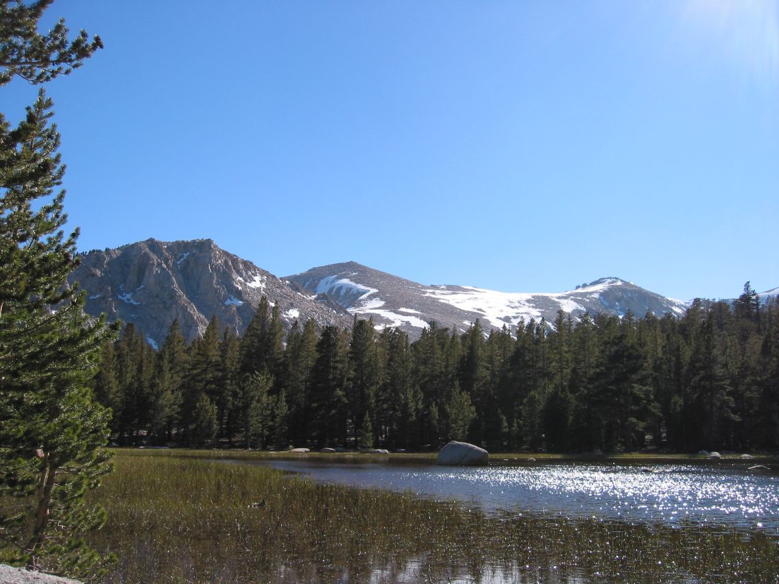 The lake |
 Overhead view of our lake |
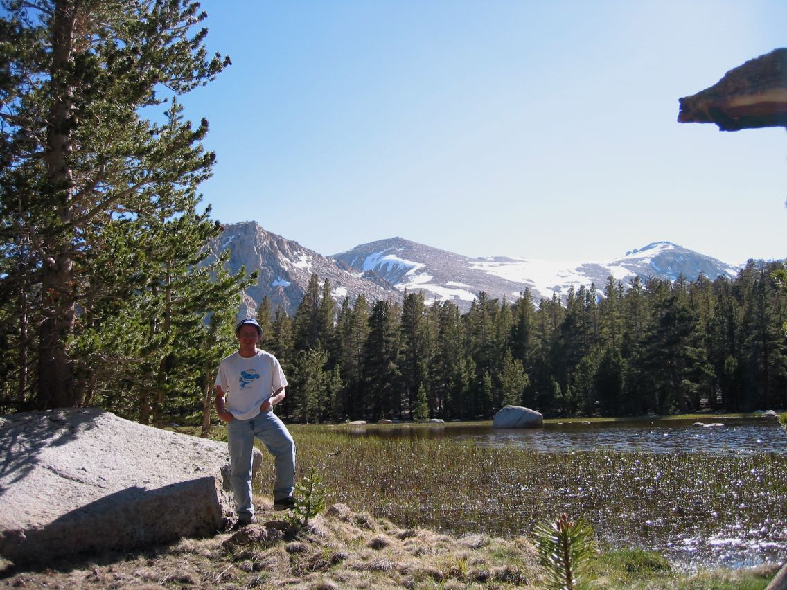 Kip |
 Glenn |
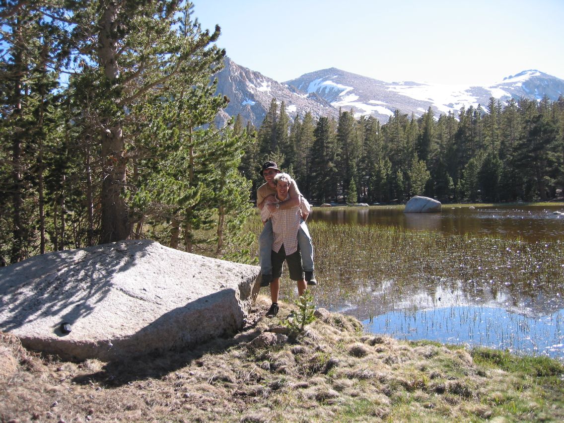 Danny and Ryan |
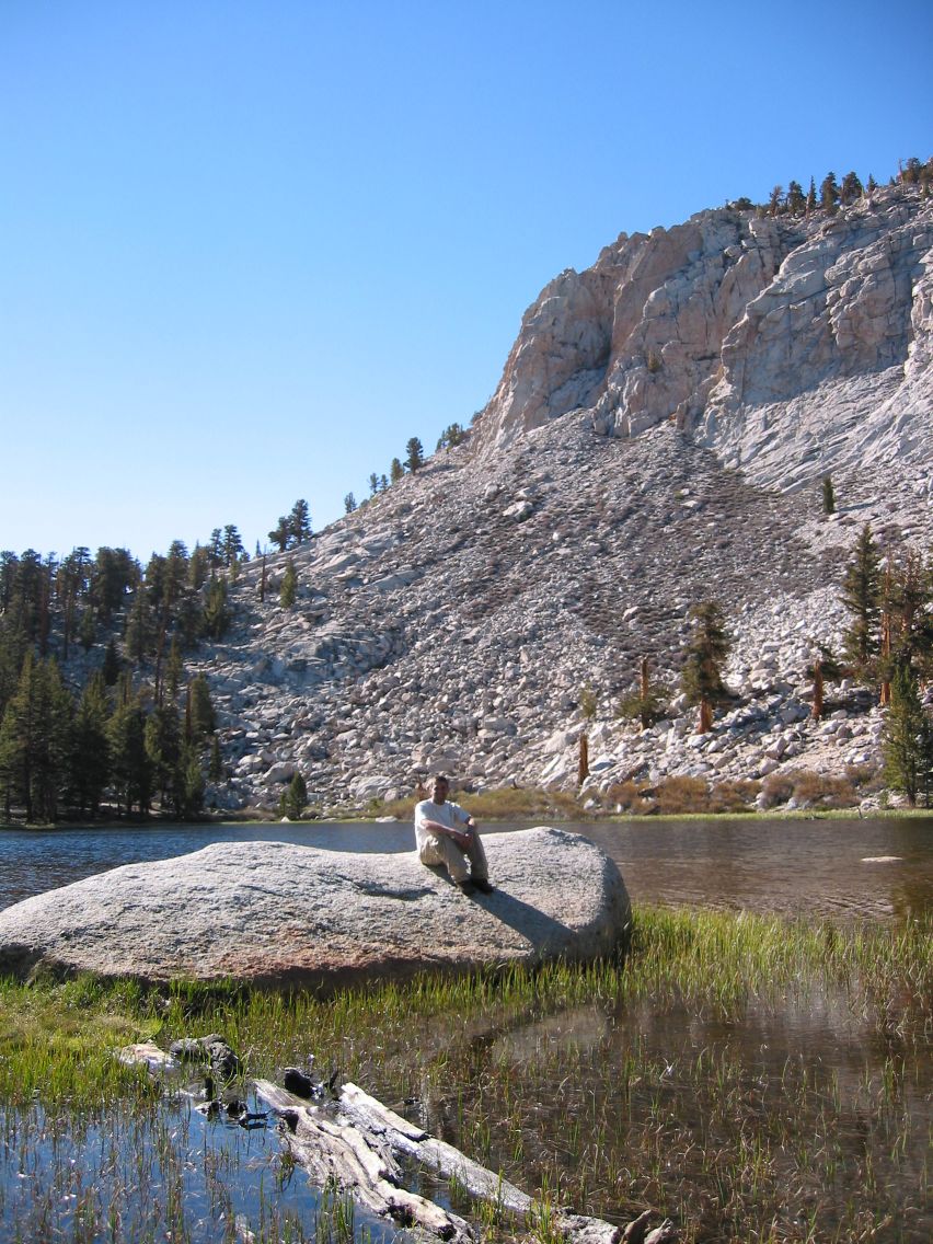
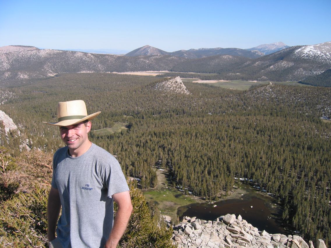
While we sunned on a large, flat rock by the lake’s edge, a pair of backpackers arrived. They were friendly, but seemed surprised that anyone else had discovered their “secret” lake. They said they had thought about camping here, but since we didn’t see them again I guess they decided to push onward instead. At some point later, another group arrived, and camped on the far side of the lake. We never met them, but we could hear them and saw their tent across the lake. After lunch and a nap, Glenn, Danny and I decided we'd climb the peak right next to the lake. It was fairly steep, but easily climbable, except that I tired quickly, probably due to the 11,000 foot altitude. From the top, we got a great view toward Cirque Lake and Cottonwood Lakes, as well as this neat fort-like area on the top of the mountain.
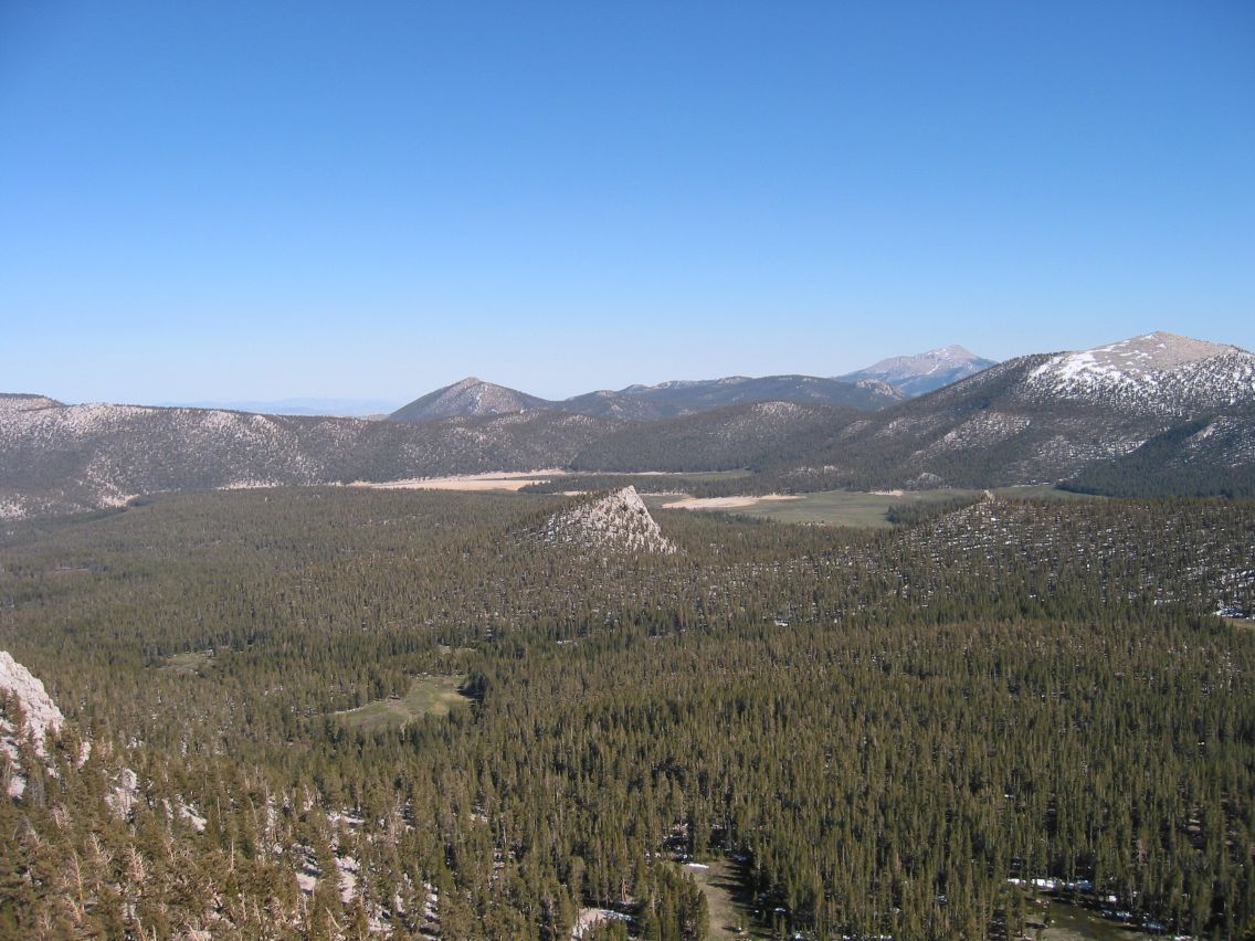 View back to Horseshoe Meadows |
 The forts |
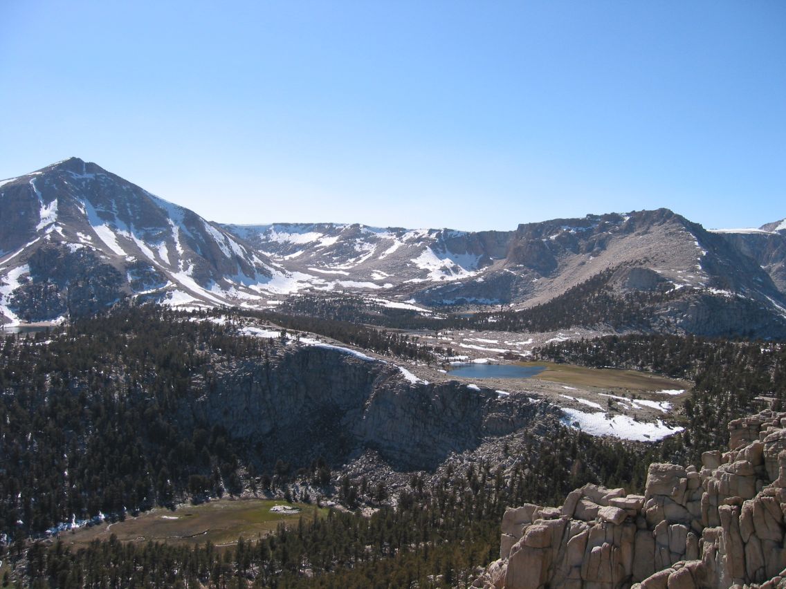 Cirque Peak and Cottonwood Lakes |
 Glenn at the top |
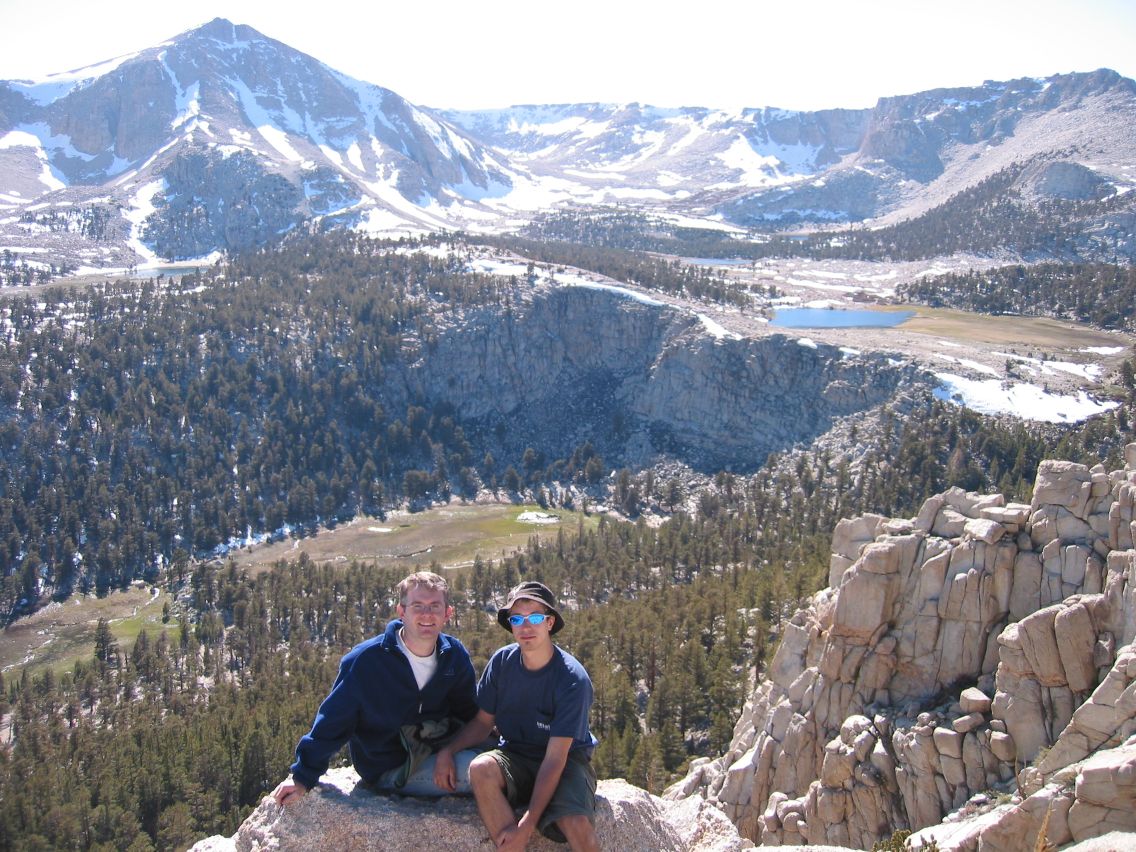 Danny and Ryan at the top |
The next day, we were somewhat slow getting started, but everyone was feeling much better. We decided to head toward Cirque Peak, as I'd determined a possible route from the viewpoint yesterday: Head back down into the valley and then make for an implied pass (a saddle) on the topo map, catch the views from the peak, and then return to camp for our packs and back to the car. We took down our camp and left our packs by a tree at our campsite and headed out on our dayhike.
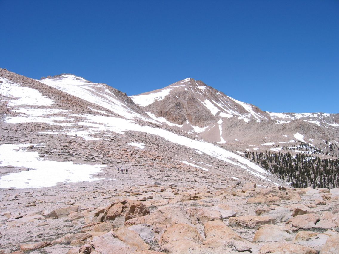
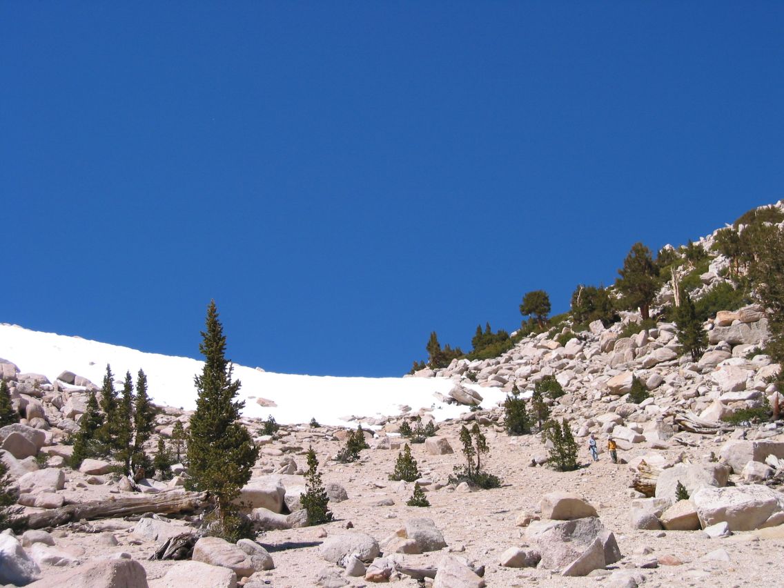
It was a pretty easy hike, except for one steep section because I overshot the saddle. Later we found out this was a good thing, because the shortest route up the saddle was very sandy, and though going downhill that way was really easy, trying to climb up a steep sandy slope would have been difficult. The saddle also marked the treeline, so after it we were climbing on bare rock.
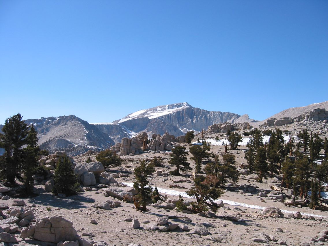
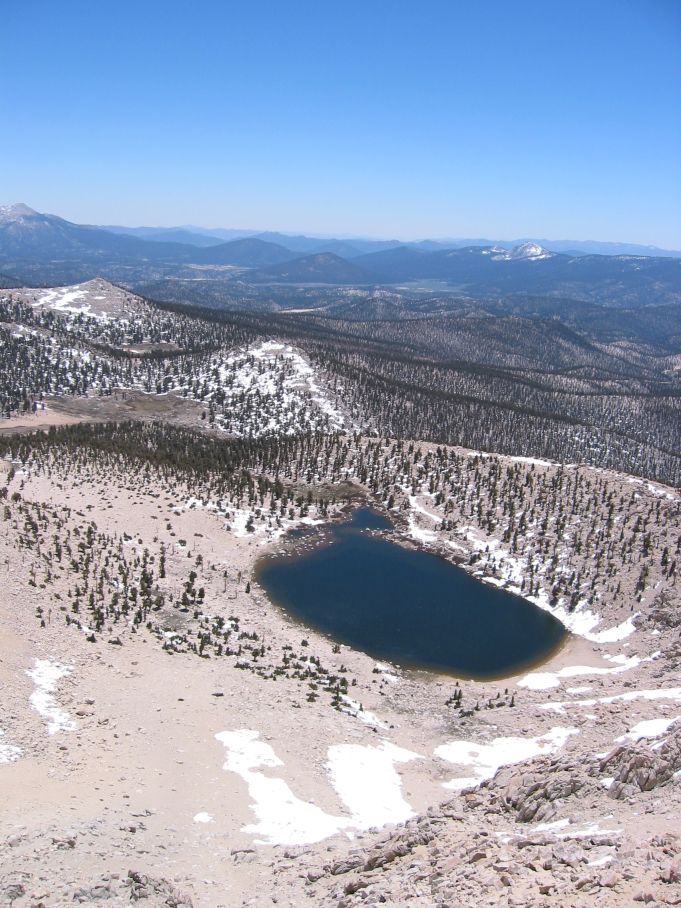
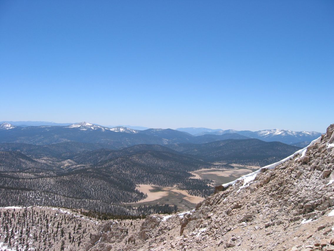
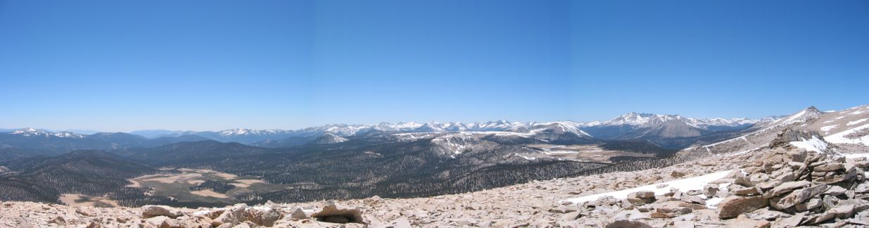
Above the tree line, the rocks were occasionally covered in huge patches of snow. At first we did our best to avoid the snowfields, but higher up, there were some that we had to cross. Walking on the snow was a little challenging, because it would sometimes give way and drop your leg knee-high into the snow, risking a bootfull of cold ice, or potentially worse. Fortunately, we didn’t have too much snow to cross and we made it up to the peak safely. From here we got a great view of Chicken Springs Lake, a popular summer campsite on the Pacific Crest Trail. We picked our way along the ridgeline to the next peak on the way to Cirque, which gave us views toward some snow covered peaks, which I think were the Kaweahs and the Great Western Divide. It was time for lunch, so we broke out the sausage, cheese, gorp, and Cytomax, and made a meal of it.
 On our way to the top |
 Chicken Springs Lake |
 Meadows on the other side |
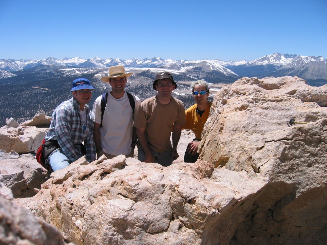 All of us at the top |
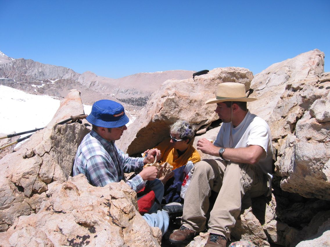 Lunch |
The trip back was easier, because it was almost all downhill. Step-sliding down the sand below the saddle was actually pretty fun. On the way back, we saw a tree that looked like a candycane, with the remaining living bark twisting around the tree. We made it back to camp in good time, regaining some of the hour we were behind, before. We filtered more water and filled our empty bottles, and headed for the car. As we got close, the trails became confusing because there were more than was on the map, so ended up exiting at the horse corrals and then cutting across the roads and campgrounds to get back to the car.
 Glenn and Mount Langley |
 Going down the saddle |
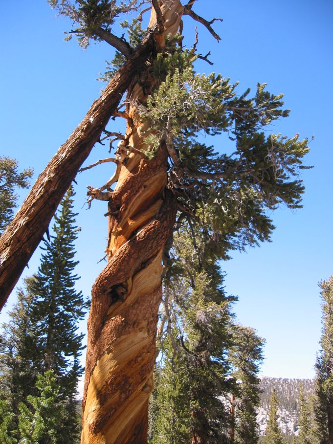 Candycane tree |
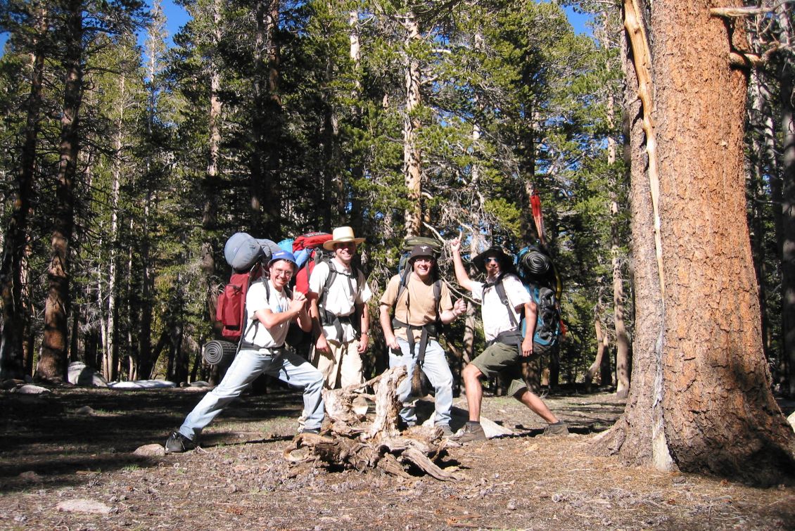 The intrepid explorers |
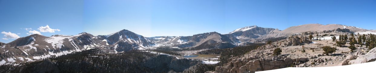 From the top of the small peak next to camp |
 Beyond the big peak |
Total distance: 7.5 miles backpacking plus 5.6 miles dayhiking (roundtrip)
Total elevation gain: 978 feet backpacking plus 2364 feet dayhiking
Maximum elevation: 12,525 feet
Other trips